First Alert Forecast
Springing back, sort of
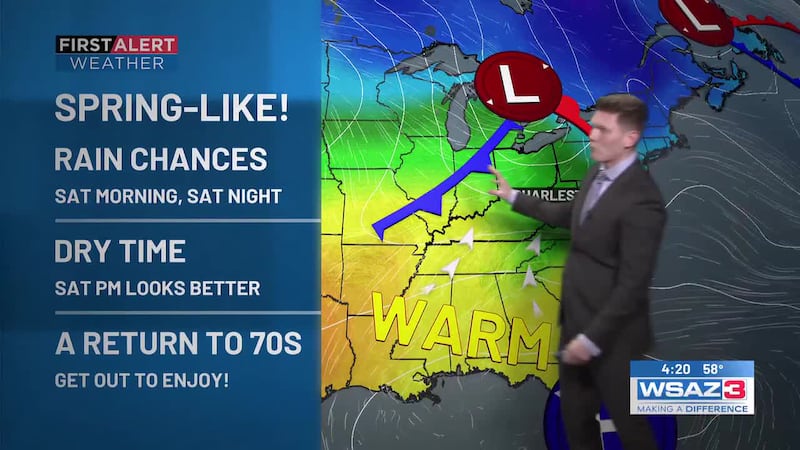
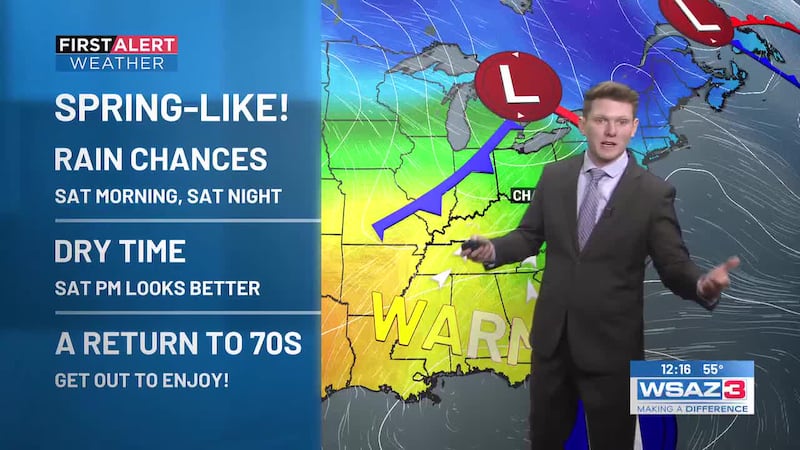
HUNTINGTON, W.Va. (WSAZ) -Just 2 weeks ago we “fell” back as Daylight Savings Time gave way to Eastern Standard Time. In the process, we enjoyed an extra hour of sleep while our clocks reverted to a 5:30 sunset and 7 sunrise. The change came coincident with the chillier air of November. Now, we are reverting to the springy weather that graced our presence in October. Rather than chilling down, our climate is about to warm back toward more springy temperatures as highs aim for the 60s and 70s thru Saturday.
(6 pm prose)
The week started in a snow frenzy then morphed into an astronomical delight as we were treated by two nights of the Northern Lights. So it should come as no surprise that there are some new weather quirks to go through the next 7 days.
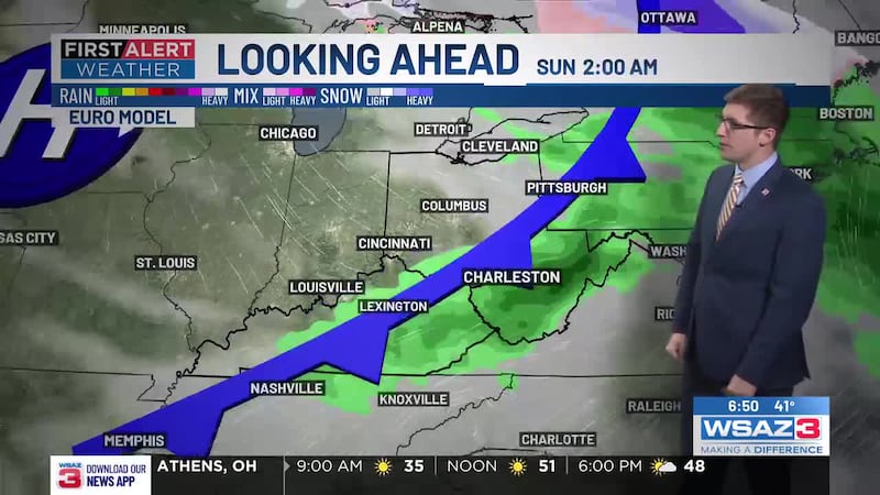
It starts with two warm days as sunshine props highs into the 60s on Friday then 70s on Saturday. While a shower or thunderstorm will be noted on Saturday night, the rain should move be gone for Sunday church services and afternoon soccer at Marshall (Conference USA title game) and Shawnee for the crowning of champions for the WV Governor’s Cup.
Next week will be seasonably cool with showers on Tuesday and again late week. Highs in the 50s and lows in the 30s will remind us late fall is here.
Copyright 2025 WSAZ. All rights reserved.