First Alert Weather | Chilly air arrives Friday and will last through the weekend
First Alert Meteorologist Dillon Gaudet has latest
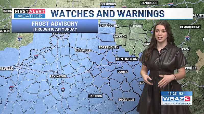
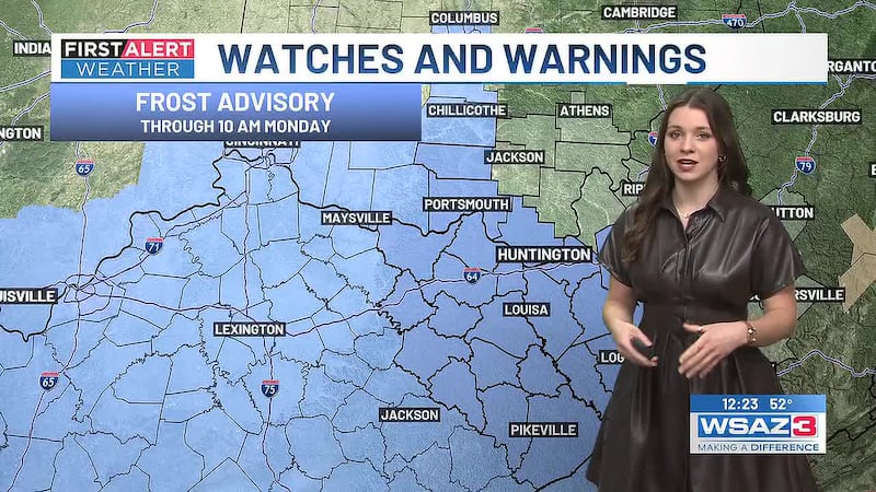
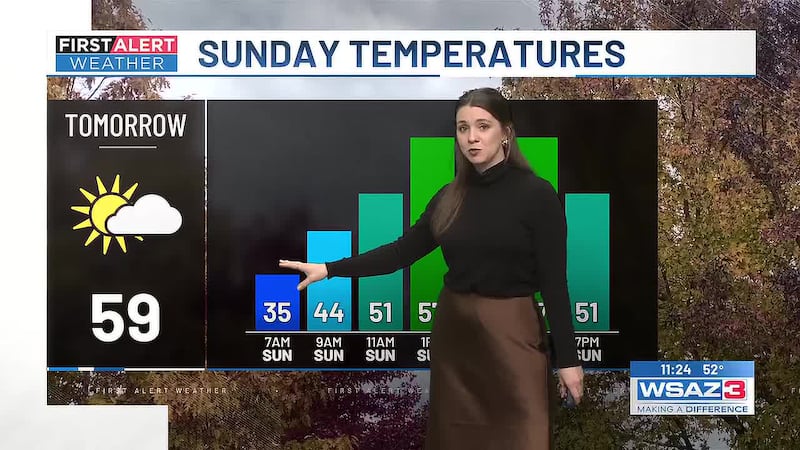
HUNTINGTON, W.Va . (WSAZ) - Happy Monday! It’s chilly start to your day but in typical fall weather fashion, we will warm up nicely into the mid-60s later this afternoon. Tonight into Tuesday morning will be even colder than this morning, with morning lows falling into the 30s for most of the year. Tuesday afternoon into Wednesday will be even warmer, with afternoon conditions warming up into the upper 60s.
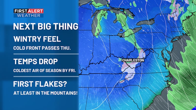
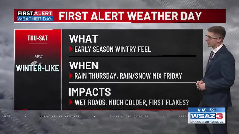
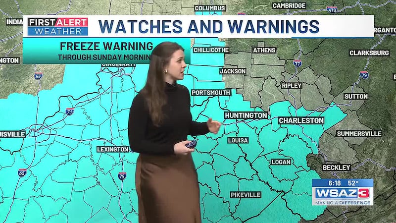
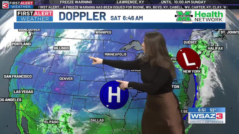
Don’t get too used to it though, big changes are on the way. We now have First Alert Weather Days in place from Thursday through Saturday. This is due to our first winter-like feel of the season. Rain showers will sweep through the area ahead of a cold front on Thursday. These showers won’t amount to a lot of rain but will make for a wet drive throughout the day. The bigger headline will be the drop in temperatures for Friday into Saturday. Afternoon highs will only be reaching the mid-40s, with mountain snow accumulation in the mountains of West Virginia. For most of our area, some flakes will be mixing in for some late Friday into Saturday. Don’t expect much more than that though.
Changes are likely in the coming days though... Stay with the First Alert Weather Team for more updates.
Copyright 2026 WSAZ. All rights reserved.